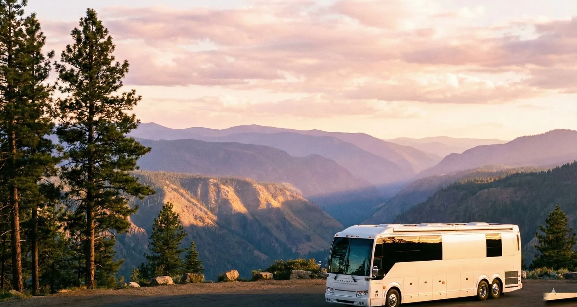
The distinction between a road that's legal to drive on National Forest land and one that isn't doesn't appear on Google Maps, Apple Maps, or most consumer GPS units — it appears only on the Motor Vehicle Use Map the Forest Service publishes for every ranger district, a document that became mandatory under the 2005 Travel Management Rule. Owners on full-timer forums who have spent multiple seasons in places like Utah's San Rafael Swell, Arizona's Coconino National Forest, and Nevada's Humboldt-Toiyabe consistently report that this is a late discovery for most first-season campers, and that overlooking it is behind most of the enforcement contacts they've witnessed in the field. The pre-trip research process experienced owners actually follow — from MVUM download to land-ownership verification to field office check-in — is what this article covers.
What dispersed camping is, and why the land agency matters
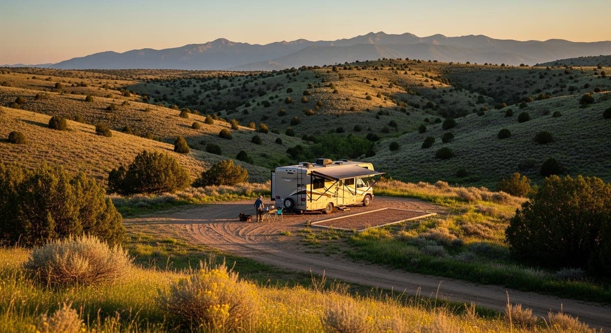
Dispersed camping means camping outside of designated campgrounds, on undeveloped public land, with no hookups, no reserved sites, and no fee. The legality and the rules depend entirely on which agency manages the land beneath your rig.
Bureau of Land Management (BLM) land is the most permissive for vehicle-based camping. BLM manages roughly 245 million acres, concentrated primarily across the western United States and Alaska, and dispersed camping is generally allowed on most of it unless a specific area has been closed or designated as permit-only. The default posture on BLM land is "camping is allowed unless posted otherwise," which is the opposite of most developed recreation areas.
National Forests operate under a different framework. The U.S. Forest Service allows dispersed camping in most forests, but the rules are enforced at the individual forest and ranger district level. Some forests are wide open; others have motor vehicle use restrictions that limit where you can legally drive off a paved or graded road. Full-timers who have camped across multiple western forests consistently note that you cannot assume one forest's rules apply to the next one.
Other public land categories owners regularly encounter include:
- National Grasslands: managed by the Forest Service, generally allow dispersed camping with rules similar to National Forests
- State-managed public land: rules vary enormously by state; some are highly permissive, others require permits even for primitive camping
- Army Corps of Engineers land: often has specific campsite designations and limited dispersed-camping flexibility
- National Parks and Monuments: dispersed camping is rarely allowed; treat it as prohibited unless the specific unit's regulations say otherwise
The direction that emerges from full-timer community discussions: start your search with BLM land if you're in the West, and learn to read National Forest travel regulations if you need forest cover, shade, or elevation.
The pre-trip research sequence experienced owners actually follow
Experienced boondockers describe their pre-trip process as a layered workflow built on a specific sequence of tools. Getting that sequence right saves hours and prevents the situation owners frequently describe on platforms like iRV2 and the Escapees forum: driving two hours down a dirt road only to find a gate, a closure sign, or a private property marker at the end.
Motor Vehicle Use Maps (MVUMs)
For National Forest camping, the Motor Vehicle Use Map is the document that legally defines where you can drive. The Forest Service publishes one for every ranger district, and they are the authoritative source on which roads are open to motor vehicles, which are open to highway-legal vehicles only, and where cross-country vehicle travel is permitted.
MVUMs are free and downloadable from each National Forest's website. Search "[Forest Name] Motor Vehicle Use Map" and navigate to the ranger district you're targeting. The maps are georeferenced PDFs showing the designated road system in color codes specific to each map's legend. A consistently flagged mistake in owner forums: assuming that a track visible on Google Maps or a consumer GPS app is legal to drive. If it doesn't appear as an open route on the MVUM, driving it may violate the forest's travel management plan, and rangers do issue citations for this — a pattern described repeatedly in dispersed camping community threads through the 2024-2025 season.
Avenza Maps
Avenza is a mobile app that lets you download georeferenced PDFs, including MVUMs, and see your GPS position on them in real time without a cell signal. Full-timers describe this as one of their most reliable tools in areas with no coverage. The workflow: download the MVUM PDF for your target ranger district, import it into Avenza before you leave home, and use it on the road to confirm you're on a designated route. Avenza's map store also carries some BLM surface management maps and National Forest visitor maps that supplement the MVUMs.
BLM's online mapping resources
For BLM land, the primary starting point is the BLM's national web map, accessible at blm.gov under the Maps section. Owners also frequently recommend:
- CalTopo: overlays BLM and Forest Service boundaries, road types, and topography in a single view; web-based with offline export options
- Gaia GPS: popular in overlanding and boondocking communities for offline maps and track logging
- OnX Offroad: originally built for OHV users but increasingly used by RV owners for its land ownership and road-type layers
The critical step across all these tools: verify land ownership against BLM surface management layers, not just the background map tiles. Private inholdings exist inside BLM-adjacent areas, and camping on private land without permission is trespassing regardless of what the surrounding land status appears to be.
Ranger district and field office websites
Both the Forest Service and BLM publish current closure orders, fire restrictions, and permit requirements at the individual unit level. Owner reports consistently flag this as the step most newcomers skip. A review of the relevant ranger district or field office website before departure can surface active fire restrictions, temporary closures for fire suppression or nesting seasons, permit requirements in high-use areas, and current road conditions.
Not all BLM camping near popular destinations is free. The Long-Term Visitor Area (LTVA) near Quartzsite, Arizona — one of the most heavily trafficked winter dispersed camping corridors in the country — requires a paid permit: $180 for the full season (September 15 through April 15) or $40 for a 14-day permit, per the BLM Phoenix District's current schedule. Short-term dispersed camping in adjacent non-LTVA BLM land operates under different rules and different fees. That zone-and-fee structure is documented on the Phoenix District's website and is frequently misread by first-time winter visitors who arrive assuming the entire Quartzsite BLM corridor is uniformly free.
Rules that consistently trip up first-season campers
Owners who have spent multiple seasons doing dispersed camping describe a predictable set of early mistakes. Most share the same root cause: assuming that rules are uniform across public land rather than reading the specific regulations for the specific unit.
Stay limits: The default on most BLM land is 14 days within a 28-day period in any one area. After 14 nights, you must relocate — but BLM's national policy does not specify a minimum distance to move. Individual field offices set their own move-on requirements, and some enforce a "you couldn't reasonably return to the same site for day use" standard without attaching a mileage figure. Owners commonly cite 25 miles as a working rule, and that figure circulates widely in boondocking forums, but it is an informal community convention rather than a codified national standard. Confirm the local requirement with your specific field office before planning around it.
National Forests have similar stay limits, but they vary by district, and some high-traffic areas impose shorter limits of 7 days or fewer. Ranger contacts over stay limit violations are among the most frequently reported enforcement interactions in dispersed camping communities.
Fire restrictions: Restriction levels can change daily during fire season. The FireRestrictions.us aggregator and individual forest and BLM field office sites post current levels. Stage 2 restrictions typically prohibit all open fires including charcoal; some prohibit liquid-fuel stoves as well. Owners in the Southwest and intermountain West — particularly those who camp in Arizona's Tonto National Forest and Utah's Grand Staircase-Escalante region — report this as the most common compliance gap for first-season boondockers.
Setback distances: BLM and Forest Service regulations frequently require camping setbacks from:
- Water sources: typically 100 to 200 feet from streams, lakes, and springs
- Road edges: minimum distance from the traveled way, which varies by unit
- Other occupied sites: minimum spacing rules in some districts
These setbacks are not always posted at the road entrance. They exist in each unit's specific regulations, which is another reason to read the ranger district site before departure rather than relying on signage at the trailhead.
Gray water disposal: Owners describe this as the Leave No Trace obligation most frequently misunderstood by newcomers. Dumping gray water on the ground is prohibited on most BLM and National Forest land even when the water is soapy and biodegradable. The requirement on most units is to pack it out or use designated dump stations. Some areas permit gray water disposal only in a sump hole dug well away from water sources; check the specific unit rules.
On-the-road scouting: reading a road and confirming legal ground
Thorough pre-trip research still leaves judgment calls for when you arrive. Experienced owners describe a consistent scouting protocol for evaluating a candidate site in real time.
Read the road before you commit: Boondocking veterans frequently cite driving a rig into a dead end as among the most avoidable and costly field mistakes. The scouting sequence owners recommend:
1. Park at the road entrance and walk or drive a spotter vehicle ahead before pulling your rig in 2. Evaluate road width against your rig's turning radius, not just straight-line clearance 3. Identify a turnaround point or loop option before committing 4. Check road surface for soft shoulders, embedded rock, and washed-out sections that appear stable but may not hold weight
Indicators of a legal pull-off: Experienced owners describe a checklist of site signals:
- Evidence of prior use: established tire tracks, a cleared flat area, an existing fire ring are strong indicators that the spot has been used and is likely legal, though not a guarantee
- No posted closure signs: check for Forest Service or BLM notices at the road entrance and at any junction between the main road and the spur you're considering
- Road visible on the MVUM: cross-check your GPS position against the downloaded MVUM layer in Avenza or CalTopo before pulling off the main corridor
- No private-land markers: fence posts with orange or yellow paint, wire fences crossing the track, and "No Trespassing" signs are reliable indicators of private land regardless of what the surrounding area looks like
Real-time ground confirmation: Owners who use Avenza or Gaia describe a simple verification step before setting up: drop a pin on the current location and confirm it falls within BLM or National Forest boundary, on a designated road or in an area where cross-country travel is permitted. Most incidents of accidental trespass happen when a track visible on the ground doesn't match what the ownership layer or MVUM shows.
Community consensus across boondocking forums is consistent when there's any doubt about legality: move on. Fines for camping on private land or in a closed area range from $100 to several hundred dollars depending on the jurisdiction, and they are difficult to contest after the fact.
When to call the ranger station: Full-timers consistently recommend calling the local ranger district or BLM field office when planning to spend multiple nights in an unfamiliar area. Rangers are generally responsive to callers with specific, advance questions. The questions worth asking before arrival:
- Is dispersed camping currently allowed in this specific road corridor or area?
- Are there active fire restrictions or area closures in effect?
- Is there a current stay limit shorter than the default 14-day rule?
- Are there any permit requirements or fees during this season?
That call eliminates the most common first-season frustration: arriving at a site that turns out to be closed, permitted, or operating under rules that changed since the last post about it appeared online. The full pre-trip sequence — MVUM to Avenza to land-ownership verification to field office check — is what experienced owners on dispersed camping forums consistently describe as the difference between free camping that stays free and free camping that results in a fine.
From the RVmapper team
Fishing along your route?
Hooked Fisherman publishes fishing reports for all 50 states, species guides, and honest gear reviews. Know what's biting before you park the rig.