This article contains affiliate links. If you make a purchase through these links, we may earn a small commission at no extra cost to you. Learn more.
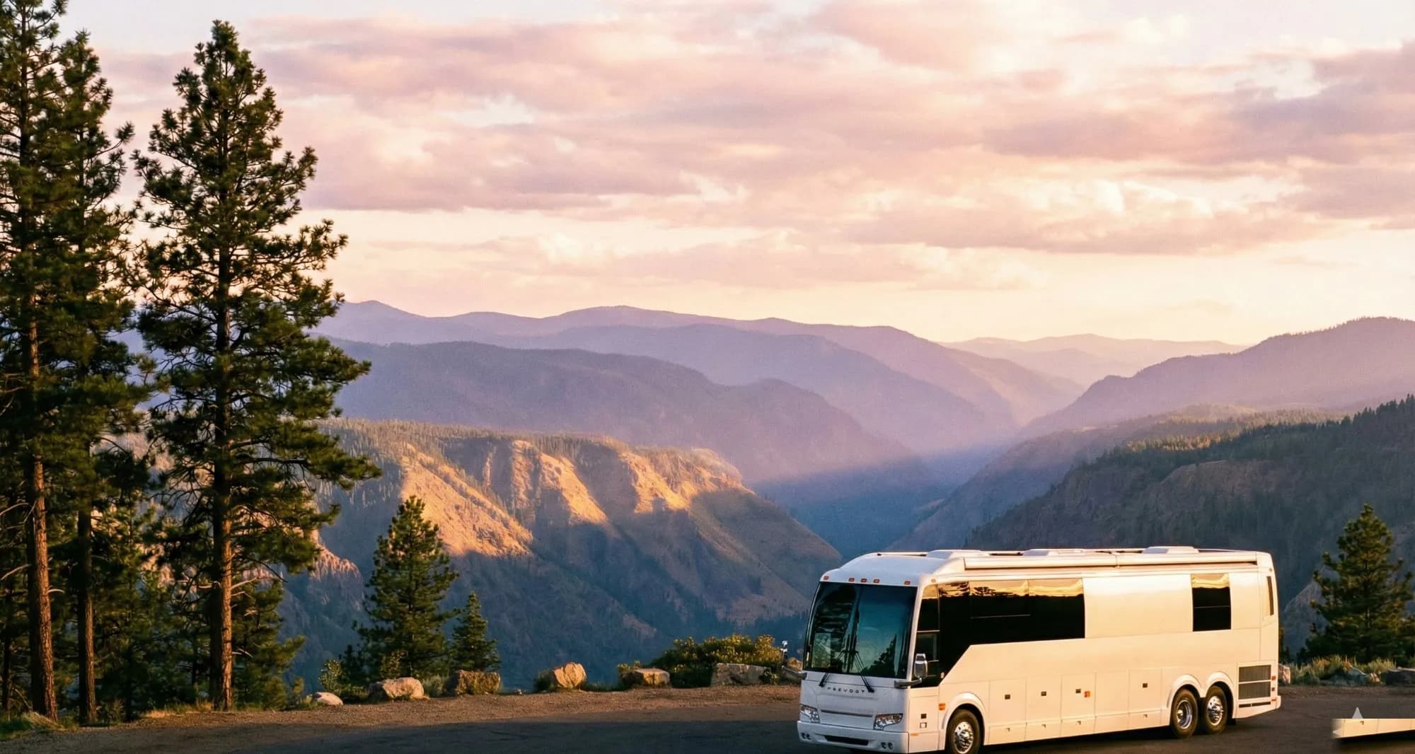
The Blue Ridge Parkway is 469 miles of uninterrupted ridge-top driving through the Appalachian Mountains — no traffic lights, no billboards, no commercial vehicles, just one continuous scenic road connecting Shenandoah National Park in Virginia to Great Smoky Mountains National Park in North Carolina. It's America's most-visited national park by attendance and one of the most RV-friendly long routes in the eastern United States. It's also one of the most misunderstood.
The tunnels have strict height limits. The parkway's narrow, winding design creates specific challenges for large rigs. And if you show up expecting a highway-speed drive and discover it's 45 mph maximum with 10-minute delays for tunnel queues, you'll miss what makes it special. Plan it right and the Blue Ridge Parkway is a truly unforgettable RV trip.
The Tunnel Size Limits (Read This First)
The Blue Ridge Parkway has 26 tunnels. Most allow vehicles up to 14 feet, 5 inches in height. If your RV exceeds 13 feet tall, verify your height before attempting the parkway. Most Class A motorhomes and tall fifth wheels in the 13'6"–14'0" range will clear the tunnels, but anything taller creates a real problem. Several tunnels, including the famous Rough Ridge Tunnel area, have limits that catch unprepared drivers every year.
The other critical limit: the parkway is not designed for vehicles over 45 feet combined length, and some sharp curves in North Carolina (particularly in the southern section between Cherokee and Asheville) are difficult or impossible for rigs over 40 feet. Most 30–38 foot motorhomes navigate the full parkway without significant issues. Rigs over 40 feet should plan to skip specific problem sections.
The Route: Virginia to North Carolina
The parkway runs from Milepost 0 (Rockfish Gap, VA, at the south end of Skyline Drive) to Milepost 469 (Cherokee, NC, at the north entrance to Great Smoky Mountains). You can drive it in either direction — northbound (NC to VA) or southbound (VA to NC). Most people drive southbound because it puts the most dramatic mountain scenery (southern NC section) at the end of the trip. Either works.
The Virginia section (MP 0–216): Rolling ridgeline through the Appalachian Highlands. Highlights include the Peaks of Otter area (MP 83–86, with Abbott Lake and three distinctive peaks), the Roanoke Valley overlooks, the Mabry Mill (MP 176, the most-photographed spot on the parkway), and Groundhog Mountain Overlook. The Virginia section is more gradual and forgiving for large rigs than the NC section.
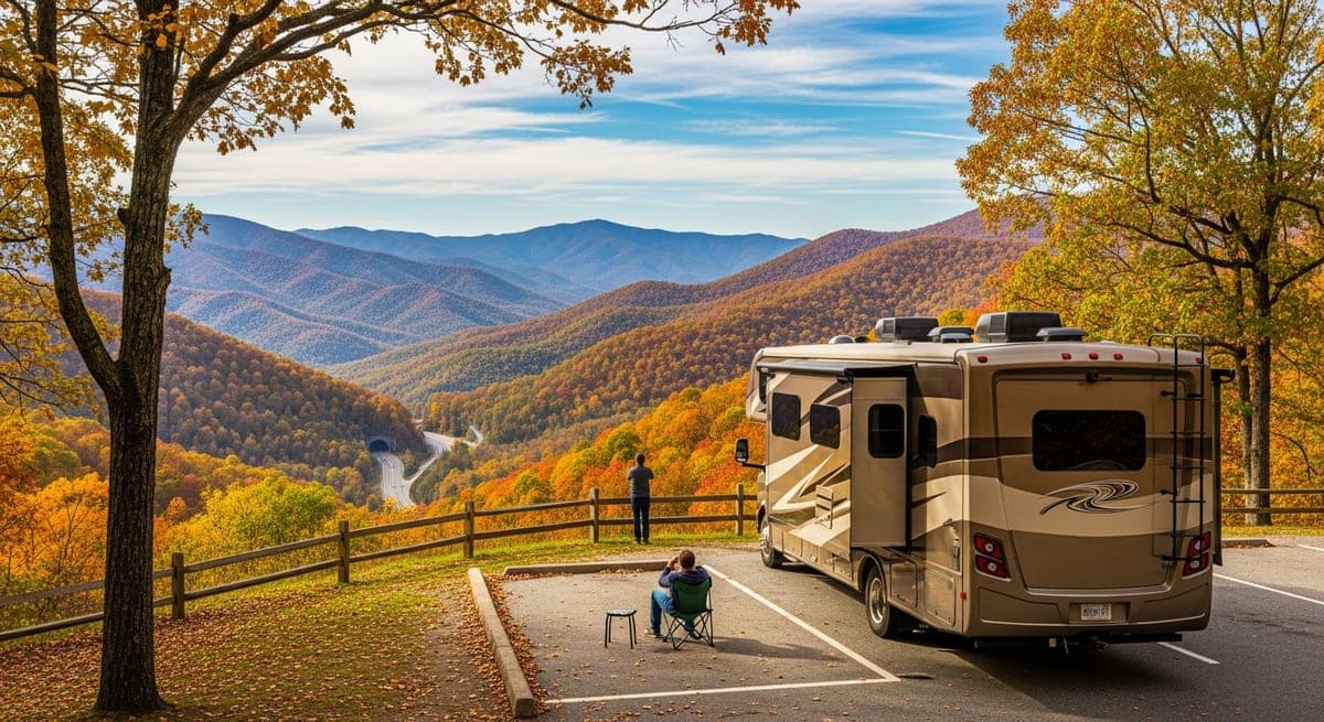
The North Carolina section (MP 216–469): More dramatic elevation changes, tighter curves, and the highest elevations on the parkway. Mount Mitchell (highest peak east of the Mississippi) is accessible via NC-128 from MP 355. The Linn Cove Viaduct (MP 304) is an engineering marvel — a curved concrete bridge hugging the side of Grandfather Mountain. The NC section culminates in the descent into Cherokee through a spectacular run of overlooks above Asheville.
Best Campgrounds on the Parkway
The Blue Ridge Parkway has 8 campgrounds operated by the NPS, all on recreation.gov. None have hookups — these are dry camping sites only. Dump stations are available at most campgrounds. Maximum site lengths vary: most are 30–45 feet.
Peaks of Otter (MP 86, VA): 144 sites, maximum 35 feet. One of the most scenic campgrounds on the parkway, sitting at the base of Sharp Top Mountain with Abbott Lake as the centerpiece. Walking trails directly accessible. Good fishing in the lake. Book 4–6 months in advance for fall color weekends.
Roanoke Mountain (MP 120, VA): 74 sites, maximum 30 feet. Closest campground to the city of Roanoke (great if you need supplies, a shower, or a restaurant). Site length limit is tighter — not ideal for larger rigs.
Rocky Knob (MP 167, VA): 81 sites, maximum 40 feet. Near Mabry Mill and the Floyd County area. Longer site limits make this a good option for larger rigs. The campground sits in a bowl below the ridgeline with good tree cover.
Crabtree Falls (MP 339, NC): 71 sites, maximum 35 feet. Near Crabtree Meadows and a popular waterfall hike. A great basecamp for the central NC section.
Linville Falls (MP 316, NC): 50 sites, maximum 35 feet. One of the most popular NC campgrounds, near the Linville Falls waterfall and gorge. Can fill on weekends — book early.
Mount Pisgah (MP 408, NC): 70 sites, maximum 45 feet. Highest-elevation campground on the parkway at 5,000 feet. Stunning views, cool nights even in summer. Near Asheville (30 miles) for resupply.
Outside the parkway options: KOA and private campgrounds near Asheville, Boone, and Blowing Rock provide hookup sites if you need power. Many RVers drive the parkway during the day and camp at a commercial campground in one of the towns each night.
Fall Color Timing
The Blue Ridge Parkway fall foliage is among the most spectacular in the eastern United States. The elevation gradient means color progress moves south-to-north and top-to-bottom through October:
- Early October: High-elevation NC sections (MP 350–420, elevations above 4,000 feet) begin turning. Mount Mitchell area is peak color by first week of October in a normal year.
- Mid-October: The sweet spot across most of the parkway. The Virginia section north of Roanoke and the central NC ridgelines are peak. Peaks of Otter is typically peak the second or third week of October.
- Late October: Lower elevations in Virginia. The Mabry Mill and Floyd County area are still strong in late October. The southern NC section (near Cherokee) is typically peak third week of October.
Fall weekends on the parkway are extremely crowded — overlook parking fills, campgrounds book months in advance, and traffic slows at every viewpoint. If possible, plan weekday travel in October. A Tuesday-Thursday Blue Ridge Parkway trip in mid-October is one of the best RV experiences in the eastern US.
Spring Wildflower Season
Spring on the Blue Ridge Parkway is dramatically underrated. Azalea blooms (late April–early May at lower elevations, mid-May at higher elevations) transform the roadside. Wildflower meadows at Peaks of Otter and near Craggy Gardens (MP 364) are spectacular in May. Spring crowds are a fraction of fall crowds, campgrounds are easy to get, and the air is clear after winter. The trade-off: some facilities aren't fully open until mid-May, and higher-elevation sections can have late cold snaps.
Practical Planning Notes
- No gas on the parkway: There are no gas stations on the Blue Ridge Parkway itself. You must exit to nearby towns. The longest gaps between access points in the NC section can be 60–80 miles. Don't let your tank drop below half.
- Speed limit is 45 mph maximum, lower in curves: Budget 2 mph average travel speed when planning your daily distance. A 100-mile day takes 2+ hours of driving, plus time at overlooks.
- Cell service is intermittent: Download offline maps for the route before you leave. Verizon has the best coverage of the major carriers but there are still dead zones.
- The parkway has no fee: Free to drive and free to use NPS campgrounds with the $30/night nightly fee (covers cost of campsite, no additional park entrance fee).
- Weather changes fast at elevation: Even in summer, nights above 4,000 feet can drop to the 40s°F. Pack layers.
Related: Great Smoky Mountains RV camping guide · RV campground types explained
Ready to Plan Your Trip?
Put this knowledge to work. Let our AI build a personalized RV itinerary for your next adventure — or browse community trips for inspiration.