This article contains affiliate links. If you make a purchase through these links, we may earn a small commission at no extra cost to you. Learn more.
Using Your RV as an AT Base Camp
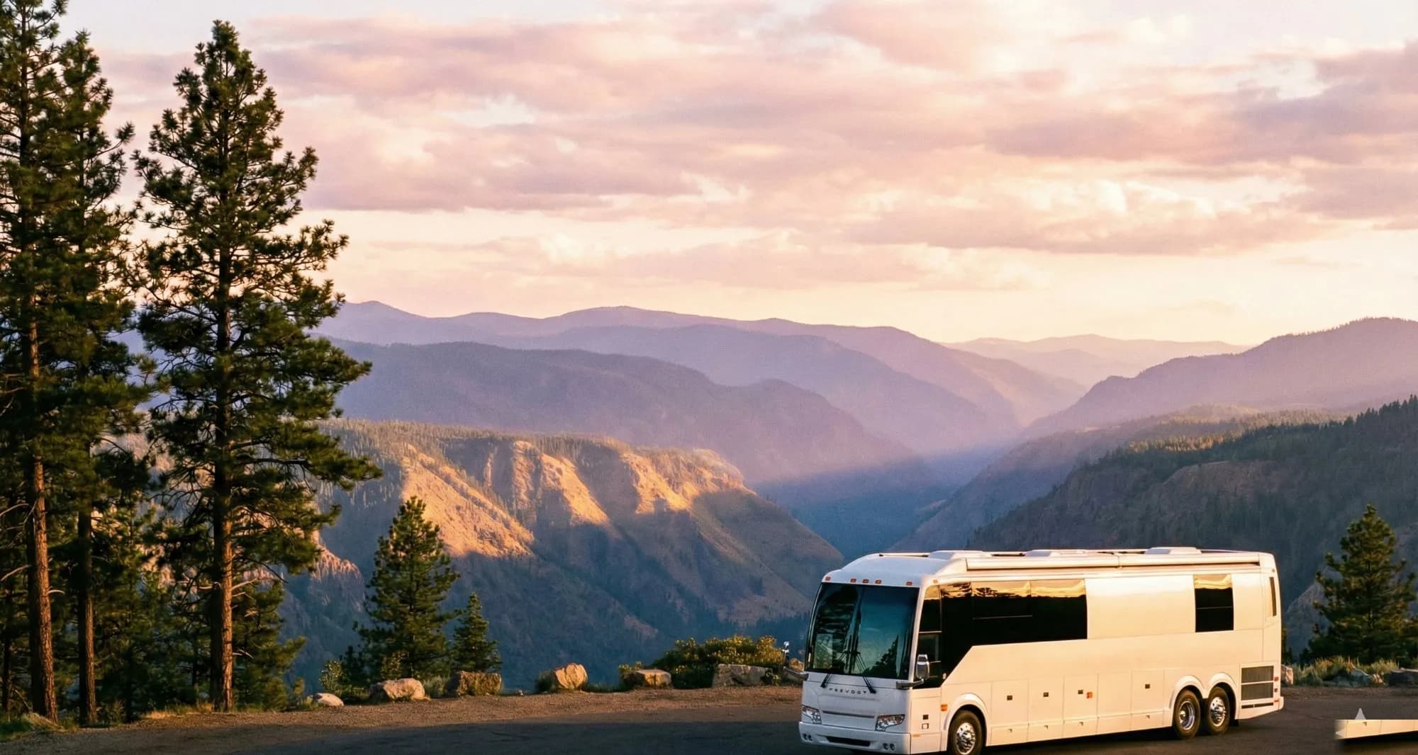
The Appalachian Trail's 2,190 miles pass through 14 states, most of them with accessible campgrounds within reasonable distance of trailheads. Using an RV as a mobile base camp to hike sections of the AT has several advantages over thru-hiking logistics: dry clothes and food waiting for you after each section, the ability to resupply from your own kitchen, and the flexibility to adjust plans based on weather and physical condition.
Section Hiking Strategy by Region
New England (Maine, New Hampshire, Vermont, Massachusetts, Connecticut): The most rugged terrain on the AT, with the highest elevation profiles. White Mountain National Forest (NH) sections are some of the most scenic. Base camps: multiple campgrounds in WMNF, state parks throughout Vermont, and Shenandoah-adjacent parks. RV access to trailheads is generally good in New England, with designated parking areas at most trail crossings.
Mid-Atlantic (New York, New Jersey, Pennsylvania, Maryland, West Virginia, Virginia): More accessible terrain, closer to population centers. Delaware Water Gap (NJ/PA) is a good section for RV-based day hiking with excellent campground access. Virginia has the longest AT section of any state, with multiple national forest campgrounds providing base camp options. Shenandoah National Park's Skyline Drive runs alongside the AT for 105 miles with developed campgrounds at multiple points.
Southern Appalachians (Tennessee, North Carolina, Georgia): The southern terminus near Springer Mountain, GA, and the northern terminus at Katahdin, ME, are the iconic endpoints. Great Smoky Mountains National Park encompasses a significant AT section with established campgrounds (busy, reserve early). Cherokee National Forest and Pisgah National Forest offer good RV camping near southern AT sections.
Trailhead Parking Considerations
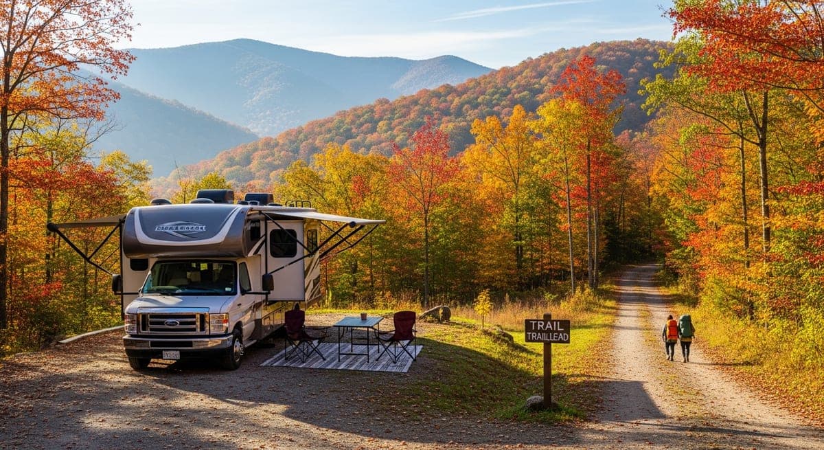
AT trailhead parking areas are sized for day hikers' cars, not RVs. A 40-foot fifth wheel cannot access most trailhead parking areas. Planning strategy: identify campgrounds within 5–15 miles of the trailhead and use a tow vehicle, bike, or shuttle service for the final approach. AT Trailhead Passport app and the AT's online interactive map show parking areas with size notes.
Shuttle services exist in popular hiking regions — local outfitters and hostels often run shuttles from parking areas to trailheads for a modest fee. This makes sections with poor RV trailhead access manageable.
Planning Resources
The Appalachian Trail Conservancy (appalachiantrail.org) maintains the authoritative planning resource for the AT, including permit requirements (Shenandoah, Great Smoky Mountains require backcountry permits for overnight hiking), bear canister requirements by section, and water source information. For RV-based day hiking, the main permit considerations are campfire restrictions and designated camping in national parks.
Ready to Plan Your Trip?
Put this knowledge to work. Let our AI build a personalized RV itinerary for your next adventure — or browse community trips for inspiration.
Keep Reading
RV Camping in the Appalachian Mountains: Blue Ridge, Shenandoah, and Beyond
10 min read
Destination GuidesGrand Canyon RV Camping: South Rim vs. North Rim (and What Each Actually Looks Like)
9 min read
Destination GuidesColorado RV Camping: Rocky Mountain National Park, Mesa Verde & the Million Dollar Highway
15 min read