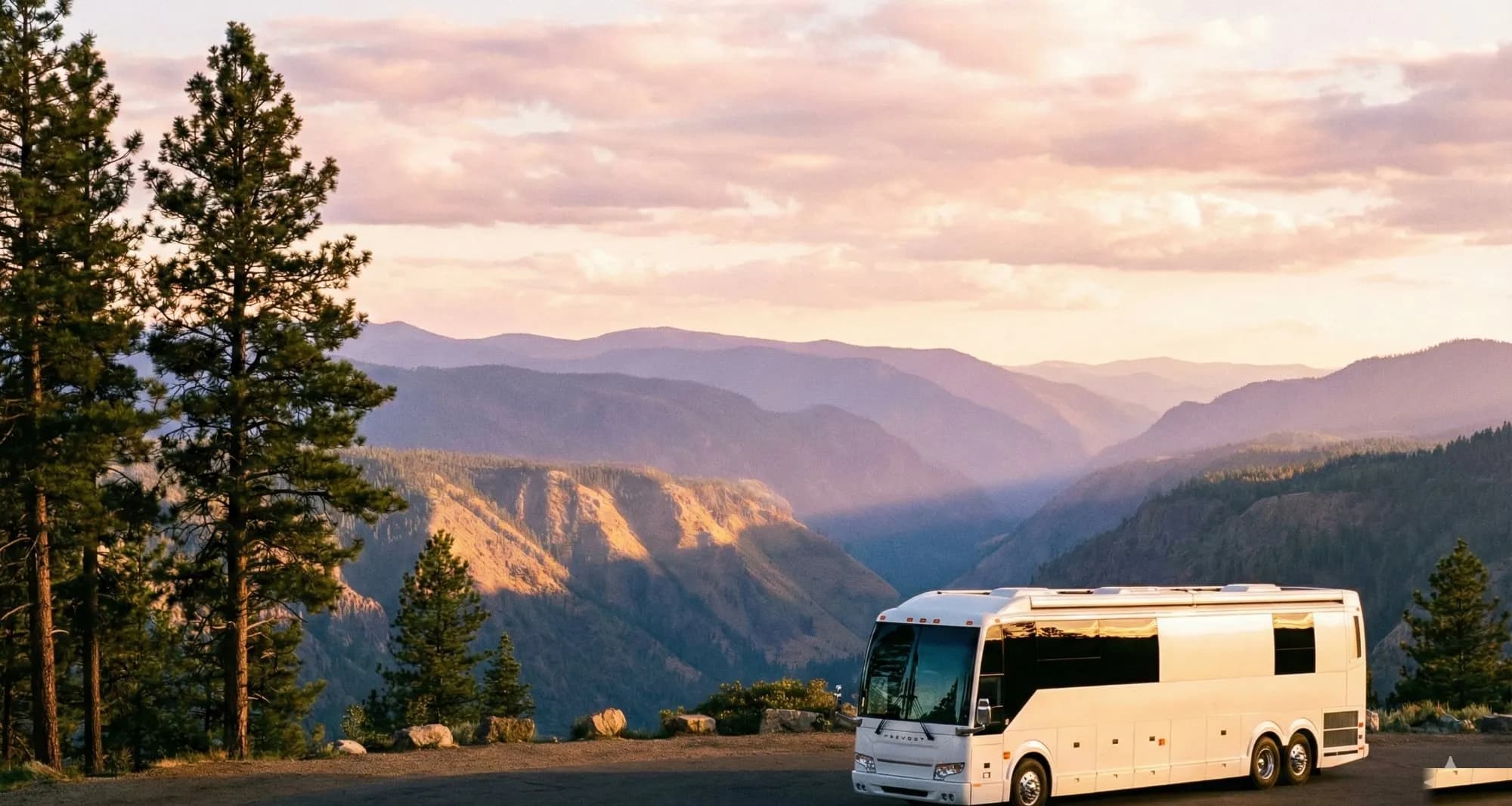
The Great Lakes hold roughly 21 percent of the world's surface fresh water, and the Circle Tour traces their combined shoreline across nearly 6,000 miles of state highways, provincial roads, and two-lane lakefront drives. RVers who have completed the full loop describe scenery that shifts dramatically from sand dune coastlines in Michigan to rocky Canadian Shield bluffs in Ontario, making the experience feel less like one trip and more like five or six distinct regions stitched together. The trip also crosses an international border twice on a full loop, which places it in a different planning category than most domestic RV routes. Community reports from completed-loop travelers consistently flag two underestimated variables: actual drive times on the two-lane lake roads and the documentation requirements for crossing into Canada with a towed vehicle.
What the Great Lakes Circle Tour is and how to scope your trip
The Great Lakes Circle Tour is a designated scenic byway network coordinated by the Great Lakes Commission, linking Lake Superior, Lake Michigan, Lake Huron, Lake Erie, and Lake Ontario via marked routes through eight US states (Minnesota, Wisconsin, Michigan, Indiana, Ohio, Pennsylvania, New York, and Illinois) and two Canadian provinces (Ontario and Quebec). The route is not a single highway. It is a network of state, provincial, and county roads marked with standardized route signs, which means navigation requires a downloaded regional map or a GPS route file rather than a single interstate corridor. Travelers who have driven the route report that signage is generally consistent on the US sections and somewhat less reliable on the Ontario north shore, where downloaded offline maps serve as a necessary backup.
At a realistic RV pace of 200 to 250 miles per driving day, the full 6,000-mile loop requires a minimum of five to six weeks of continuous travel. Community reports consistently suggest that breaking the circuit into two or three multi-week segments across separate seasons is more satisfying than rushing the full loop in one shot.
Scope decisions to make before booking anything:
- Full loop versus single-lake focus: Lake Superior alone spans roughly 1,300 miles of shoreline and is most frequently described by returnees as the most dramatic and remote section. Lake Michigan has denser campground infrastructure. Picking one lake for a two-week trip is a practical and popular entry point.
- Direction of travel: Counterclockwise travel (starting north toward Superior from Wisconsin or Minnesota) front-loads the most remote driving while the rig and crew are fresh, and allows easier southward progression as the trip winds down.
- Seasonal window: Snow can persist through May and return in October on the northern segments. The practical travel window for the full loop is late May through early September, with July and August drawing the heaviest campground competition.
- Rig size constraints: Owners of 40-foot Class A coaches and large fifth wheels report more planning friction on the route's narrower sections and older campgrounds. Knowing site-length requirements before building an itinerary prevents day-of surprises.
How to choose your route: full loop or single-lake segments
Each lake has a distinct character, and the road and campground infrastructure varies significantly between them.
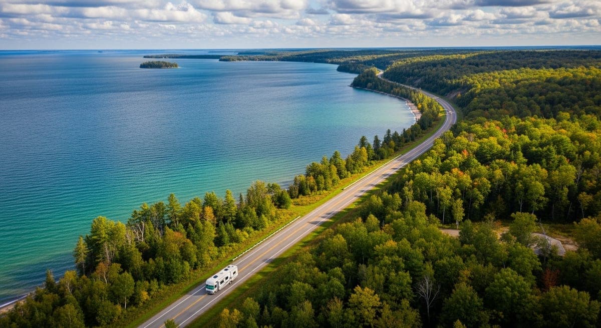
Lake Superior is the longest and most demanding segment. Provincial Highway 17 runs the Ontario north shore through boreal forest with long fuel gaps between services. Travelers with large coaches or tow vehicles report that winding two-lane sections near Wawa and east of Thunder Bay require careful speed management and advance fueling. Community trip reports routinely describe the 440-mile Sault Ste. Marie to Thunder Bay corridor as a two-day segment, not one.
Lake Michigan offers the most campground-dense routing on the US side. US-31 along the western Michigan shore and the roads through Sleeping Bear Dunes National Lakeshore are among the most frequently cited segments in trip reports. The Door Peninsula in Wisconsin is consistently praised for scenery but flagged by drivers of longer rigs as having tight turnarounds through village cores.
Lake Huron and Georgian Bay on the Canadian side are described by completed-loop travelers as the most underrated section. The Bruce Peninsula is noted for clarity of water and rocky shoreline that many compare to a more accessible version of Superior's Canadian coast.
Lake Erie and Lake Ontario are the most accessible entry point for a first Circle Tour trip. Campground density is high, cell service is reliable, and both sit within jurisdictions that US RVers generally find familiar.
Single-lake itineraries that community reports describe as well-matched to first-time Circle Tour travel:
- A Lake Michigan circuit (Wisconsin and Michigan) in 10 to 14 days
- A Lake Superior US-only route (Minnesota and Michigan's Upper Peninsula) in 7 to 10 days, avoiding the Canadian crossing entirely
- Lake Erie and Ontario combined for a 7 to 10-day trip confined to Ohio, Pennsylvania, and New York
Campground options and reservations for each lake
Campground availability is the planning variable most consistently flagged as underestimated in post-trip reports. The route passes through some of the most competitive state parks in the Midwest and Ontario, and summer weekends book months in advance.
Michigan state parks reserve through midnrreservations.com. Sites near Pictured Rocks and at Wilderness State Park on the Upper Peninsula typically fill the day the six-month reservation window opens. Non-Michigan residents have a slightly shorter booking window, tightening the timeline further.
Wisconsin state parks use reserveamerica.com. Peninsula State Park on the Door Peninsula is among the most competitive in the Wisconsin system, with RV forum reports noting that July and August weekends fill within minutes of the reservation window opening.
Ontario Provincial Parks book at ontarioparks.com. Pukaskwa National Park on the Lake Superior north shore is a Parks Canada property with a separate reservation at reservation.pc.gc.ca. Sleeping Giant Provincial Park near Thunder Bay is among the most frequently recommended overnight stops by completed-loop travelers. Cell coverage on the Ontario north shore is unreliable for stretches of 30 to 50 miles, so downloading campground confirmations and offline maps before the border crossing is standard practice among those who have made the drive.
Ohio, Pennsylvania, and New York parks generally offer more flexibility and shorter lead times. East Harbor State Park in Ohio and Fair Haven Beach State Park in New York are workable options for the Lake Erie and Ontario legs.
Practical notes from full-timer reports:
- RV length limits are a real constraint on this route. Several Upper Peninsula state parks and campgrounds near Pictured Rocks cap sites at 35 feet, which excludes many large fifth wheels and Class A coaches. Travelers report verifying site-length limits before booking rather than after arriving.
- National Forest dispersed camping on the Hiawatha and Ottawa National Forests in Michigan's Upper Peninsula is free and requires no reservation, and is regularly used by Circle Tour travelers to fill calendar gaps between state park stays.
- Parks Canada's Discovery Pass is a separate purchase from any US National Park pass and is reported as cost-effective for stays of four or more days across Parks Canada properties.
Border crossing logistics for the Canadian sections
The documentation requirement is the most consistently cited planning gap among RVers attempting the Canadian segments for the first time. Crossing into Canada with a towed vehicle or trailer involves requirements beyond a standard land-border vacation entry.
Documents required for US travelers entering Canada by land:
- Valid US passport (passport cards are accepted at land crossings, but a full passport book provides the most flexibility for return routing)
- Vehicle registration for both the RV and any towed vehicle
- Canadian non-resident insurance card: US auto policies do not automatically extend full coverage into Canada. Most US insurers provide a Canadian Non-Resident Inter-Province Motor Vehicle Liability Card (the "yellow card") at no charge, but traveler reports indicate that requesting it at least two weeks before the crossing is necessary since processing times vary by insurer.
Towed vehicles with third-party registrations: The towed vehicle requires its own registration at the crossing. If the towed vehicle is registered to a business or another individual, a letter of authorization from the registered owner is typically required. Multiple trip reports from the Sault Ste. Marie crossing mention officers requesting this documentation when the driver and registration name do not match.
Firearms policy: Handguns and many semi-automatic rifles are prohibited in Canada regardless of US state permits or concealed carry status. Undeclared firearms discovered at the border are confiscated and can result in prosecution. Community guidance across RV forums is consistent: leave firearms at home for any itinerary that includes a Canadian crossing.
Key crossing points on the Circle Tour route:
- International Bridge, Sault Ste. Marie (Michigan to Ontario): The primary crossing for travelers moving from Lake Huron north to Superior. Long-vehicle lane waits on US and Canadian holiday weekends are consistently flagged in trip reports.
- Peace Bridge, Buffalo (New York to Ontario): Used for the Lake Erie and Ontario sections. RVs travel through passenger vehicle lanes.
- Ambassador Bridge, Detroit-Windsor: The standard option for large RVs, since the Detroit-Windsor Tunnel has height restrictions that exclude most full-size coaches.
Declare all fresh produce, dairy, and meat at the crossing. Canadian customs enforces agricultural import restrictions, and travelers report that failing to declare items found on inspection creates significantly more difficulty than the items themselves.
Drive time reality: the most common planning mistake
Community feedback across Circle Tour trip reports identifies one consistent planning error: estimating drive days from map distance without accounting for the actual road character. Most of the route is not an interstate. Two-lane state highways and provincial roads dominate the Upper Peninsula, the Wisconsin shore, and the full Ontario north coast, where realistic average speeds in a loaded coach or fifth wheel run 45 to 55 mph.
A 200-mile day on US-2 across the Upper Peninsula is consistently reported as a 5 to 6-hour day including fuel stops, not the 3 to 3.5 hours a navigation app projects at highway speed. The Sault Ste. Marie to Thunder Bay corridor in Ontario is roughly 440 miles and is described in nearly every full-loop trip report as a two-day drive.
Adjustments that experienced Circle Tour travelers recommend:
- Plan driving days of 150 to 180 miles maximum on the northern lake segments.
- Build in at least one no-drive day per lake. Major stops along the route, including Pictured Rocks boat tours, Tahquamenon Falls, and the Sleeping Bear Dunes ridge walk, each require a half to full day to visit properly.
- Preserve reservation flexibility to absorb weather delays. Lake Superior weather systems arrive quickly and can produce conditions that make driving a high-profile RV inadvisable for several hours.
- Carry a few days of modifiable or loosely booked reservations in the itinerary. Full-loop travelers describe the ability to shift a campground booking by one or two days as among the most valuable pre-trip decisions they made.
The Great Lakes Circle Tour rewards deliberate planning and a pace that matches the road, not the map. Reports from travelers who have completed full or partial loops are consistently enthusiastic, describing the route as among the most scenically varied RV trips available in North America, with the recurring note that documentation, reservations, and realistic drive-time estimates need to be settled before departure rather than improvised along the way.
From the RVmapper team
Fishing along your route?
Hooked Fisherman publishes fishing reports for all 50 states, species guides, and honest gear reviews. Know what's biting before you park the rig.