This article contains affiliate links. If you make a purchase through these links, we may earn a small commission at no extra cost to you. Learn more.
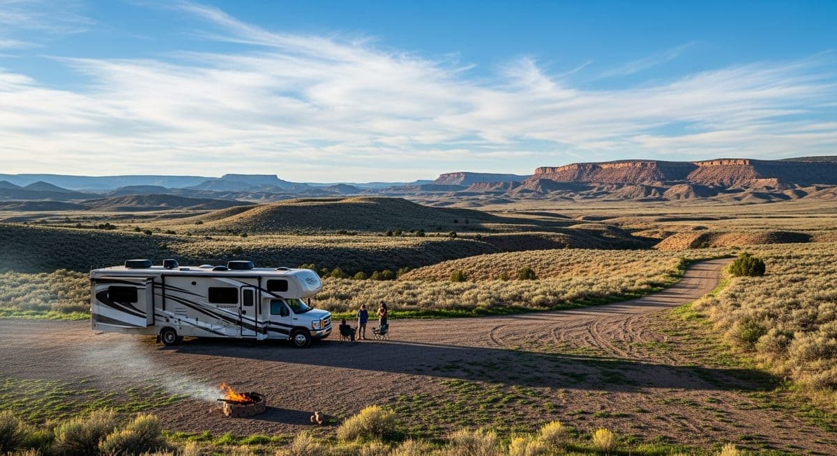
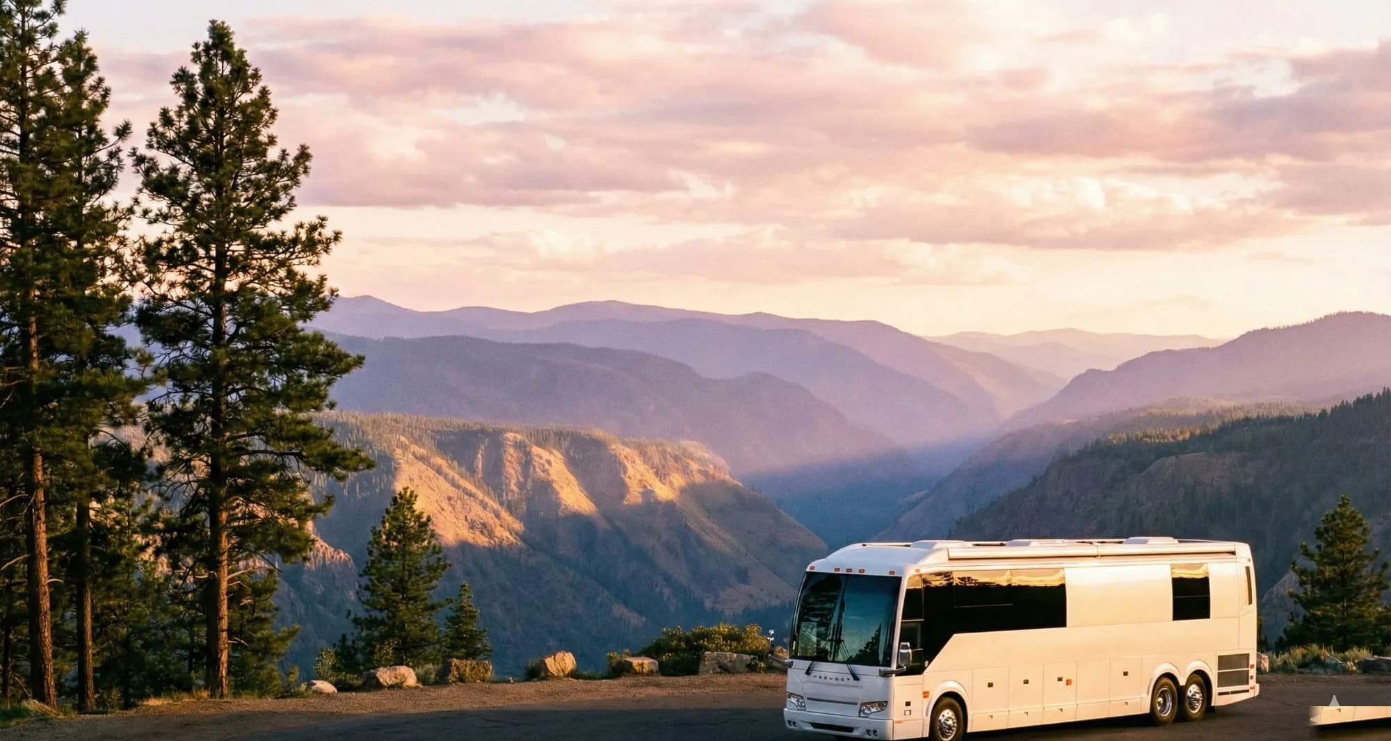
Western roadsides tell the story before you read a single map. That flat pullout off a two-track in southern Utah, three rigs parked at a respectful distance from each other, zero hookups, and a canyon view that would cost $300 a night at a resort? That's Bureau of Land Management land, and boondockers across the community treat it like the most reliable open invitation in American travel.
The public land category that unlocks free camping across the West
BLM land is federally managed public land that operates under a different mandate than National Parks or National Forests. Parks are primarily conservation-first; National Forests carry a multiple-use mandate but often require campsite fees and reservations for developed sites. BLM land has a similar multiple-use mission with one critical difference for campers: dispersed camping, meaning free camping outside of developed campgrounds, is permitted on the vast majority of it unless a specific closure order or fee area overrides that default. The burden is not on you to prove you can camp there; it is on the agency to post where you cannot.
The BLM administers roughly 245 million acres across the continental US, with the heaviest concentration in eleven western states. Full-timers and weekend boondockers report that these states offer the most accessible dispersed camping:
- Nevada: the single largest BLM footprint in the country; feedback from long-haul travelers identifies Nevada as the easiest state to find legal dispersed sites with minimal driving on rough dirt
- Arizona: the Sonoran Desert and high desert plateau regions draw winter boondockers in huge numbers; Quartzsite's BLM flats alone host tens of thousands of rigs each season
- Utah: canyon country and red rock terrain with sites near Moab, Escalante, and Kanab frequently cited by the community as among the most scenic free camps anywhere in the country
- New Mexico, Idaho, Montana, Wyoming, Oregon, Colorado, California: all carry significant BLM acreage, though California's BLM areas are more scattered and fire restrictions tighten access seasonally
East of the Mississippi, BLM land is sparse to nonexistent. Reports from full-timers who travel year-round are consistent: if boondocking on federal public land is the goal, plan your route through the West.
How to locate legal sites before you leave the pavement
Finding a legal dispersed site sounds straightforward until you are staring at a patchwork of federal, state, private, and tribal land on a standard road map and cannot tell which dirt road puts you on which jurisdiction. The boondocking community has converged on a handful of tools that consistently solve this problem.
The BLM's land status viewer (available through the national land status map at blm.gov) shows which areas are federally administered. The map integrates survey records, public land boundaries, and status data, letting you confirm whether a specific area is BLM-managed before committing to a two-hour drive down a washboard road. Search by state, county, or coordinates. When user reports and app pins conflict with each other, this is the source to trust.
Motor Vehicle Use Maps (MVUMs) are the layer that most newcomers skip and then regret skipping. MVUMs are official BLM documents showing exactly which roads and trails are legally open to motorized vehicles within a specific field office area. Driving off a designated road onto open desert is not the same as dispersed camping, and it can result in a citation. Owners of larger rigs report that checking the MVUM before a trip has saved them from accessing areas that look completely open on satellite imagery but carry restricted motorized-use designations. Download MVUMs by state and field office from the BLM website before you lose cell coverage.
Offline apps that the boondocking community relies on heavily:
- Gaia GPS: overlays MVUM data, public land boundaries, and topographic detail; full-timers consistently describe it as the gold standard for pre-trip route validation when heading into unfamiliar BLM territory
- FreeRoam: specifically designed for free camping and dispersed site scouting; aggregates user-reported site locations with notes on current conditions
- iOverlander and The Dyrt: both carry community-contributed GPS coordinates and condition notes on specific sites; treat user reports as current-conditions signal, not authoritative legal status, since land designations change and closure orders get issued
- onX Offroad: frequently cited by truck-camper and overlanding owners for its road-condition data layered over land ownership boundaries
The practical workflow reported by experienced boondockers: confirm BLM jurisdiction on the land status viewer, cross-check road access on the MVUM, then use Gaia or FreeRoam for final site selection. Cell service is not guaranteed at the site itself, so downloading offline maps before you go is non-negotiable.
Rules that catch boondockers off guard every season
The 14-day stay limit is the rule that the community says trips up the most full-timers. On most BLM land, any single location has a 14-consecutive-day maximum stay within a 28-day window. After 14 nights, owners are expected to move at least 25 miles before returning to the same general area, though local field offices may set their own distance requirement, so checking the specific area's posted rules matters.
What the 14-day rule means in practice, based on reports from long-term boondockers:
- The clock counts calendar nights; arriving late afternoon and leaving early morning still counts as a night
- Moving your rig a quarter-mile down the road does not reset the clock; the restriction applies to an area, not a GPS pin
- Winter visitor areas around Quartzsite and other high-density zones may carry long-term visitor area rules that supersede the standard 14-day limit: read posted signs when you arrive and download the local field office order before the season starts
Motorized corridor restrictions are the second major trip-up. MVUMs designate specific roads as open to full-size vehicles, to OHV/ATV-class vehicles only, or closed entirely. Reports from owners of fifth-wheels and Class A motorhomes are consistent: attempting to access a site on a two-track not designated for full-size vehicles is not just a mechanical risk, it can result in a citation. Know your rig's clearance, know the road designation, and match the two before you commit.
Fire restriction tiers move fast and are not always well-publicized before they change. The BLM uses a tiered system ranging from no restrictions through Stage 1 (no campfires outside developed campgrounds) and Stage 2 (no open flames of any kind, which can include propane camp stoves in some local interpretations). Owners who boondock through fire season report that checking the BLM's fire restrictions map at the state or field office level before every trip is the only reliable method, because restrictions can change between when you leave home and when you arrive on-site. The app Campfire Rocks aggregates current restriction data in a format easier to read than the BLM's text-based notices.
Additional rules that community feedback identifies as frequently missed:
- No cutting live trees or vegetation for campfire wood; dead and down wood only, and only where explicitly permitted by the local field office order
- Pack out all waste including gray water in some arid, ecologically sensitive areas; check the local field office before assuming standard practices apply
- Firearms regulations follow state law on most BLM land, but specific recreation areas may carry additional restrictions; verify with the local field office before assuming state law is the only standard
- Drones require FAA clearance on BLM land the same as any federal jurisdiction; temporary flight restriction areas expand significantly during fire seasons
Setting up camp right and leaving nothing behind
Dispersed camping on BLM land rewards preparation. Reports from full-timers who run multi-week boondocking stints describe a standard loadout built around the realities of off-grid camping in the West.
Water is the constraint that structures everything else. A 100-gallon fresh tank sounds like a long runway until high desert heat, cooking, and basic hygiene shrink it fast. Owners who camp regularly in southern Utah, Nevada, and Arizona in summer consistently report filling to capacity before leaving the last town and identifying the next fill point on the route before they leave, not after they arrive.
Power has shifted in a consistent direction based on community feedback over recent seasons. Solar with lithium battery storage is now the reported standard among long-stay boondockers, with 400 to 600 watts of panel capacity covering most rigs' needs for lighting, refrigeration, and device charging. Starlink is widely reported as having transformed remote connectivity for BLM camping; owners note that the Gen 3 flat-panel mounts more easily on fifth-wheel slides and Class A rooftops than earlier hardware versions.
Sanitation gear is where newer boondockers report being underprepared. BLM dispersed sites have no facilities. Owners who camp regularly in the Southwest describe keeping a portable composting or cassette toilet system as non-negotiable for multi-night stays, particularly in areas where digging catholes is impractical or restricted by local conditions.
For communication in remote BLM terrain, the community consensus points firmly toward dedicated satellite communicators. Garmin inReach and SPOT devices are both frequently cited in full-timer forums as essential safety infrastructure for areas where cell coverage does not exist. Starlink handles day-to-day connectivity; a separate two-way satellite communicator provides emergency messaging capability independent of internet access.
The Leave No Trace practices that experienced boondockers cite as most critical for protecting continued access:
- Camp on already-impacted surfaces wherever possible: flat, bare ground, rocky areas, or existing pullouts rather than pushing into undisturbed vegetation
- Set up at least 200 feet from water sources (roughly 70 adult paces)
- Pack out every piece of trash, including other campers' litter if it is manageable; BLM field offices cite visible trash as one of the primary triggers for area closures
- Scatter gray water at least 200 feet from camp and water sources; avoid dumping repeatedly in a single spot
- Dismantle fire rings you build when you leave unless they were pre-existing; rings left behind accumulate and signal overuse pressure to land managers
The spots that survive decade after decade with open access intact are the ones where the community consistently applies these habits. Reports from longtime boondockers and BLM field office staff align on this point: closures almost always follow a visible spike in trash, resource damage, or proliferating fire rings at a single site. Leave the site looking untouched, and the odds are good it will be there for the next rig that comes down the road.
Ready to Plan Your Trip?
Put this knowledge to work. Let our AI build a personalized RV itinerary for your next adventure — or browse community trips for inspiration.