This article contains affiliate links. If you make a purchase through these links, we may earn a small commission at no extra cost to you. Learn more.
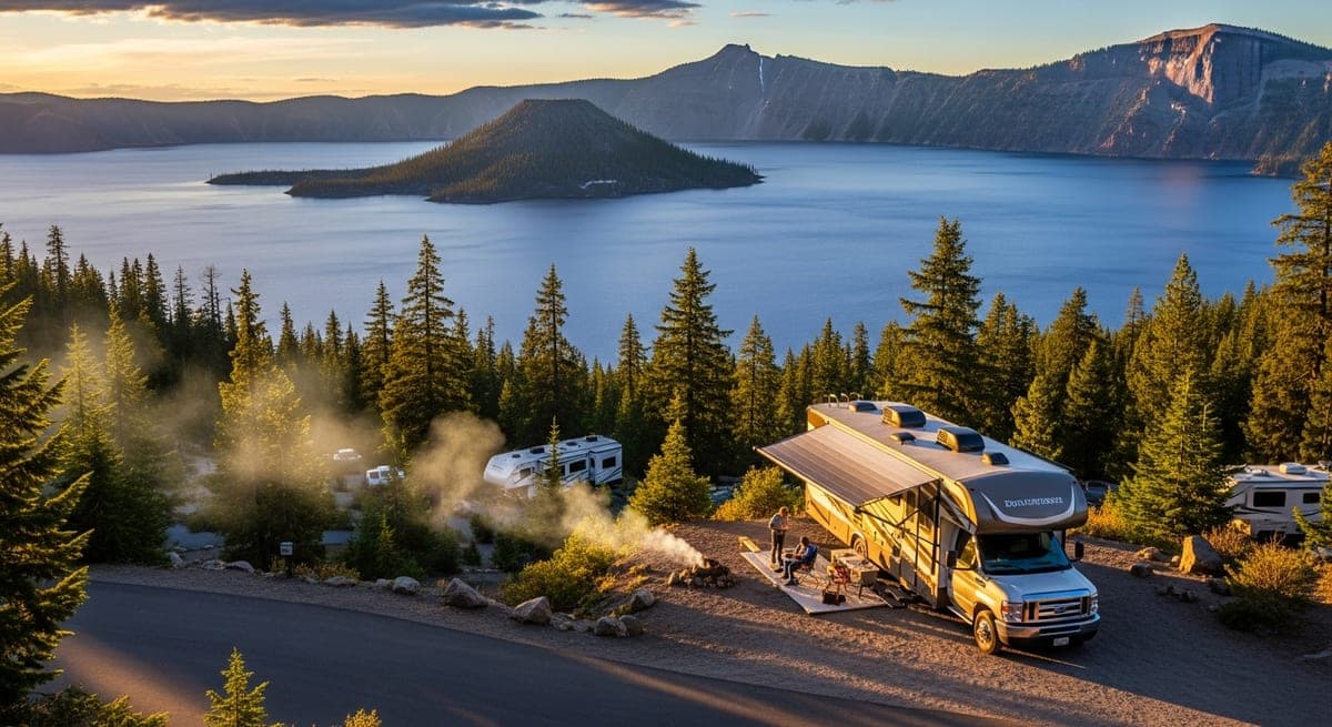
Crater Lake is in a category of its own. The lake inside the collapsed caldera of Mount Mazama is 1,949 feet deep — the deepest in the US — and its extraordinary blue color comes from clarity and depth, not dye or refraction tricks. There's nothing else quite like it in the national park system. Getting there in an RV requires some planning.
Getting There: Roads and Size Limits
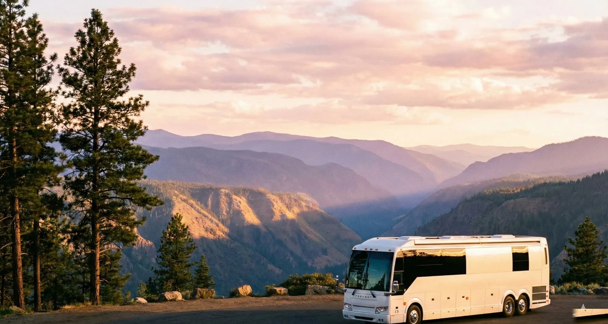
Crater Lake sits at 6,173 feet in the Cascade Mountains of southern Oregon, accessible via Highway 62 from the south or Highway 138 from the north. The Rim Drive — the 33-mile road circling the crater — has a posted 35-mph limit and several switchbacks but no hard size restrictions on the main loop. RVs of all sizes complete the rim drive regularly, though Class A coaches above 35 feet should take care at a few tighter corners.
The entrance roads off the highway are well-maintained two-lanes. No special clearances required.
Campgrounds
Mazama Campground is the primary RV campground, located 4 miles south of the rim near the Annie Spring entrance. It has 214 sites, with hookup sites available (electric only — no water or sewer). The hookup loop handles rigs up to 50 feet. Non-hookup sites are available for generators. Mazama is reservable on Recreation.gov and fills quickly for July and August — book in early spring.
Lost Creek Campground is tent-only, no RVs. The overflow area at Mazama handles overflow RV parking during peak season.
The campground season runs approximately late June through mid-October, weather-dependent. The park receives 44 feet of snow per year — the rim road may not fully open until early July in heavy snow years. Check nps.gov/crla before finalizing summer dates.
The Rim Drive: How to Do It Right
The 33-mile Rim Drive with its 30+ overlooks is the centerpiece of any Crater Lake visit. The key planning point: drive it in the morning. Afternoon thunderstorms are common in summer, and the best photography light is morning. The Cloudcap Overlook (highest paved road in Oregon at 7,865 feet) and the Sun Notch viewpoint overlooking Phantom Ship island are the top stops.
Towing a vehicle or a toad behind your motorhome is manageable on the Rim Drive. The road is wide enough; just use pullouts when traffic backs up behind you. The park gets 500,000+ visitors per summer — patience at the overlooks is required.
Beyond the Rim
The Cleetwood Cove Trail is the only trail to the lake's shore — steep (700 feet in one mile), but the swim in the 55°F water is a rite of passage. Only the Cleetwood trail accesses the lake; no other shoreline is accessible. Boat tours of the crater run from the Cleetwood dock — worth booking in advance.
Wizard Island, the cinder cone rising from the lake, is accessible by separate boat tour. Very popular; reserves quickly on Recreation.gov.
Combining With a Larger Oregon Trip
Crater Lake pairs naturally with a southern Oregon loop: Ashland (Shakespeare Festival town, excellent campgrounds), the Oregon Caves National Monument, and the coast via Highway 42. From the north, connect to the Cascades via Highway 58 toward Bend — easily one of the best RV corridors in the Pacific Northwest.
Related: Olympic National Park RV guide · Pacific Northwest RV route · Best national parks for RVers
Ready to Plan Your Trip?
Put this knowledge to work. Let our AI build a personalized RV itinerary for your next adventure — or browse community trips for inspiration.
Keep Reading
RV Camping in the Appalachian Mountains: Blue Ridge, Shenandoah, and Beyond
10 min read
Destination GuidesGrand Canyon RV Camping: South Rim vs. North Rim (and What Each Actually Looks Like)
9 min read
Destination GuidesColorado RV Camping: Rocky Mountain National Park, Mesa Verde & the Million Dollar Highway
15 min read