This article contains affiliate links. If you make a purchase through these links, we may earn a small commission at no extra cost to you. Learn more.
National forests cover roughly 193 million acres across 44 states, and the dispersed camping access they offer is unlike anything available at a state park or private campground. Travelers who have spent seasons chasing free campsites consistently rank U.S. Forest Service (USFS) land among the most accessible options in the country, yet feedback from owners on RV forums and full-timer communities paints a consistent picture: most first-timers arrive without a clear grasp of the stay limits, fire restrictions, or road conditions that define the experience. That gap between expectation and reality is where most problems start.
What dispersed camping means on National Forest land
Dispersed camping is camping outside a developed, fee-based campground, directly on National Forest land, with no designated site, no amenity pad, and no infrastructure. There are no hookups, no dump stations within immediate reach, no camp hosts, and no assigned space. You set up wherever the terrain allows and USFS regulations permit.
The key distinction worth understanding is that dispersed camping is the default use model on most National Forest land, not a special permit or exception. That said, "default" does not mean unrestricted. Each of the 154 national forests operates under its own Land and Resource Management Plan, and local ranger districts frequently layer on additional rules around setback distances, target areas, and seasonal closures.
A common misconception noted by first-time arrivals is treating all National Forest land as interchangeable. Owner feedback from communities like iRV2 and various full-timer groups consistently notes that what is permitted in Colorado's Pike and San Isabel National Forests may differ substantially from what is allowed in the Tongass or the Shasta-Trinity. Checking the specific ranger district is the first step, not an afterthought.
Rules every RV owner needs to know: stay limits, fire bans, and permit zones
The baseline USFS rules are consistent enough to memorize, but the local overlays are where most violations happen.
14-day stay limit. The national standard is a 14-day consecutive stay within any 28-day period at a single location. After 14 days, you must relocate at least 25 miles before the clock resets. Many districts impose shorter limits during peak season, and some high-demand areas have dropped to 7-day maximums. Reports from summer travelers in Montana and Oregon indicate that rangers actively patrol popular dispersed corridors and do issue notices.
Setback requirements. Most forests require camping at least 100 to 200 feet from any water source (stream, lake, wetland), road, or trail. Several forests have widened those buffers near sensitive riparian areas. This constraint matters more for RVs than for tent campers because the rig itself defines the footprint, and a 40-foot coach is not easy to reposition after setup.
Fire restrictions. These are the rules most likely to change between when you plan a trip and when you arrive. The USFS posts fire restriction levels (Level 1, Level 2, and full closure) governing whether a campfire is permitted, whether a propane stove with an open flame is allowed, or whether certain equipment can be operated at all. At Level 2, campfires are typically prohibited entirely. Reports from Southwest travelers during summer 2023 indicate that many areas moved to Level 2 restrictions from mid-July onward, catching campers who had planned on campfire cooking.
Permit zones and closed areas. Some forests require free-use permits for dispersed camping even outside designated fee areas. The Coconino National Forest in Arizona is frequently cited as an example where certain zones require advance online registration. Closed areas due to forest health work, fire recovery, or resource protection can also appear seasonally or after significant weather events, and they are not always well-signed at the trailhead.
The practical pre-trip checklist before any USFS dispersed trip:
- Visit the specific ranger district website, not just the main forest landing page
- Check Inciweb for active fire events and the district's posted fire restriction level
- Review the Motor Vehicle Use Map (MVUM) for current road closure updates
- Confirm whether a free-use permit is required for your target area
- Note the current stay limit for that district, which may be shorter than the national 14-day standard
Finding and vetting a dispersed site before you pull in
Scouting from home significantly reduces the chance of a wasted drive-out, especially for larger rigs that cannot easily turn around on a narrow two-track. The tools RV owners report relying on most consistently include the following.
Motor Vehicle Use Maps (MVUMs). Downloadable for free from the USFS website, these maps show which roads are open to motorized use, which are limited to licensed highway vehicles, and which are closed to motor traffic entirely. They are the authoritative source for legal road access and are updated when road status changes.
FreeRoam and iOverlander. These apps aggregate user-reported dispersed spots with notes on access road conditions, site size, and rig clearance. Owners consistently recommend filtering for recent entries, since road conditions change seasonally and after wet winters. A community note from 2019 describing a passable two-track may not reflect conditions after a washout or a season of heavy use.
Gaia GPS and Avenza Maps. Both platforms allow you to load USFS MVUMs alongside topographic layers. Full-timers use these to trace a route from pavement to a candidate site and assess grade, sharp turns, and tight spots before committing. Elevation and contour data also help identify whether a site will have the solar exposure needed for off-grid power.
Satellite imagery review. Google Earth and Apple Maps satellite view can reveal whether a clearing is large enough to swing a rig around or whether surrounding trees will block panel output. Owners of larger Class A coaches consistently describe satellite-based clearance checking as a non-negotiable part of their site vetting process.
When you do arrive at a candidate site, experienced dispersed campers describe a standard pull-in assessment:
- Check road width and turning radius on the last half-mile of approach before committing
- Look for soft soil or standing water that may not be obvious from the surface
- Verify the setback distance from any water feature visible on the map
- Identify an exit path before you level, especially on tight forest two-tracks
- Confirm you are not inside a posted closed area or designated research natural area
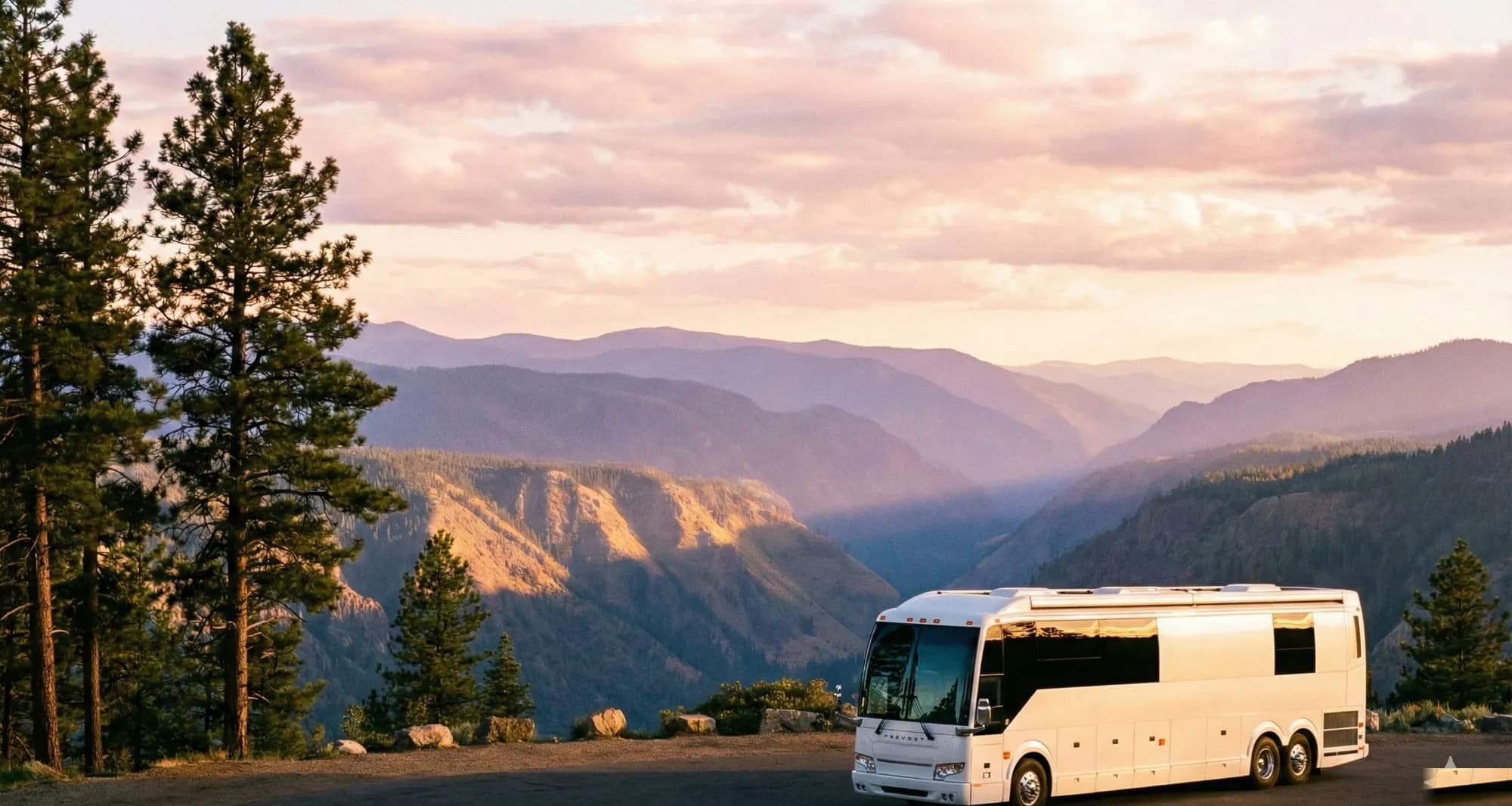
Road conditions and rig limitations
National Forest roads are where the dispersed experience diverges most sharply between rigs. Feedback from full-timers is consistent on this point: the best sites are typically accessed via unpaved, unmaintained forest roads, and not all rigs belong on all roads.
USFS roads are numbered and classified by the Forest Service, but road condition is a live variable. A road rated passable for passenger cars in summer may be impassable after snowmelt or a significant thunderstorm. Owners report conditions ranging from smooth hardpacked dirt to rocky, rutted two-track on the same road in the same season, depending on recent precipitation and maintenance cycles.
What owners consistently report about rig sizing:
- Class B vans and truck campers have the highest dispersed site access rate. Narrow roads and tight turnarounds that eliminate larger rigs are typically manageable in smaller units, and owners describe having far more site options available.
- Class C coaches up to 28 feet can access a large percentage of maintained forest roads, but owners report being more selective about spur roads and generally avoiding anything with significant grade or rock exposure.
- Class A coaches above 35 feet and large fifth-wheels are not excluded from dispersed camping, but owners describe doing substantially more pre-trip research. A common strategy reported in full-timer communities is staging at a nearby developed campground and scouting access roads in a tow vehicle or on foot before bringing the rig in.
- Low ground clearance (under 12 inches) is cited frequently as a limiting factor on rocky forest spurs, independent of rig length.
Calling the local ranger station before the trip is a consistently underused resource. Full-timers who regularly use dispersed sites report that ranger staff reliably provide current road condition information, recent closure updates, and practical guidance on which areas accommodate larger rigs.
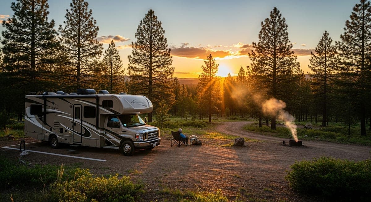
Practical setup for a multi-night stay with no hookups
Self-contained operation is the baseline requirement for dispersed camping. The math on water, power, and waste is what most first-timers underestimate on their initial trip.
Water. USFS dispersed sites have no potable water. The consensus among long-stay dispersed campers is to carry at least 1.5 to 2 gallons per person per day for drinking and minimal cooking. For a couple doing a 7-day stay, that means arriving with a full freshwater tank and conserving actively throughout. Navy showers, camp kitchen dishwashing instead of running water, and portable potable backup containers are standard practice in full-timer accounts of extended dispersed stays.
Power. Without hookups, options are solar, generator, or a combination of both. Owners across full-timer communities consistently recommend at minimum 400 watts of rooftop solar and 200 amp-hours of lithium battery capacity for a comfortable multi-night stay without running a generator daily. Under forest canopy, solar yield drops substantially, so forested dispersed sites typically require more generator time than open-sky BLM camping in the desert Southwest.
Waste management. Gray and black tanks fill faster on dispersed stays without nearby dump access. Knowing the nearest dump station before departure is a non-optional logistical step. Campendium and Sanidumps.com are the tools owners most frequently cite for locating dump stations near a forest target area. Full-timers report planning a mid-trip dump run as standard practice for stays longer than 5 to 7 days.
Communication. Cell service in national forests is often limited or entirely absent. Satellite communicators (Garmin inReach, SPOT) are consistently recommended by experienced dispersed campers for emergency communication and for receiving weather and fire restriction updates that may change mid-stay. Downloading offline maps and fire restriction pages before departure is described across owner communities as mandatory, not optional.
Leave No Trace. USFS dispersed camping operates on a pack-in, pack-out model with no trash service. Owners note that sites showing visible litter or ground damage attract ranger attention and accelerate area closures. The seven Leave No Trace principles function here not as aspirational guidelines but as the behavior pattern that keeps dispersed access open for the next user.
Closing the preparation gap
Most dispersed camping problems that owners describe on forums and in community threads share a common root: arriving with assumptions built around developed campground norms. USFS land management expects self-sufficiency, pre-arrival rule-checking, and leave-no-trace compliance as a baseline, not as extras.
The payoff, as full-timers consistently describe it, is substantial. Extended camping at no cost, in scenery that most fee sites cannot match, with a level of solitude that is simply not available at a developed campground. Owner feedback across RV communities is consistent on this point: dispersed camping on National Forest land carries one of the highest repeat-visit rates among all free-camping options, and the preparation gap closes quickly after the first successful trip.
Ready to Plan Your Trip?
Put this knowledge to work. Let our AI build a personalized RV itinerary for your next adventure — or browse community trips for inspiration.